
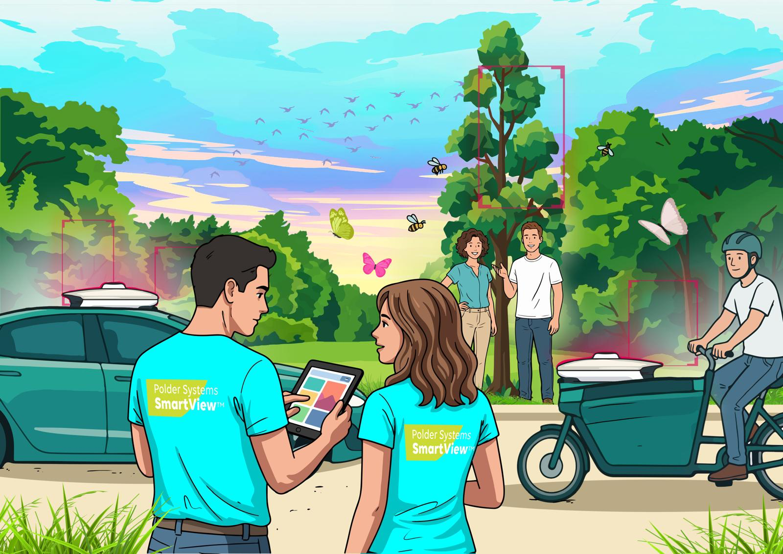
SmartView scene with survey vehicle, cargo bike and people in a green landscape

Polder Systems

We make the outdoor world measurable.

And reveal where attention will be needed next.

A vehicle or train follows its regular route. SmartView™ captures the same environment repeatedly through imagery, geometry, temperature, location and time. AI transforms every passage into detections, relationships, priorities and traceable actions.

5 countries

The Netherlands, Belgium, France, Canada and the United States

1 passage

Every sensor layer from the same calibrated position

4 intelligence domains

Roads, landscape, road safety and rail

01 — The problem

The outdoor environment changes every day. Management data does not always keep pace.

Much of today's information is collected periodically, within separate disciplines or only after a report. As a result, changes and relationships between roads, greenery, rail, climate and behaviour remain invisible longer than necessary.

  1. 01

    Observations are periodic

    Inspections give a valuable picture of one moment. Between two inspections, the environment keeps changing.

  2. 02

    Data often stays separated by discipline

    Road condition, assets, greenery, rail and road safety are assessed from different responsibilities, which makes the relationships between them hard to see.

  3. 03

    Early signals do not always reach action in time

    A deviation sometimes becomes urgent only after a report, a failure, visible damage or an incident. SmartView helps make earlier signals systematically visible.

SmartView survey vehicle during a field demonstration

One passage of the SmartView survey vehicle turns a route into hundreds of measurable facts.

02 — The system

One carrier. One calibrated sensor shell.

Every sensor observes from the same calibrated position, at the same moment, on the same route — on a road vehicle or on a train. That is what makes results comparable over time. Not every configuration carries every sensor; the shell is composed for the task.

Sensors in the shell

RGB Vision

Four-sided camera coverage

What it observes directly
Continuous 360° imagery of carriageway, verge, assets, signs, markings, vegetation and road users, with every frame stamped to a position and moment.
What the combination adds
Combined with LiDAR geometry and thermal contrast, an apparent surface blemish becomes a measured deformation with a thermal signature.
When verification remains necessary
Colour imagery alone cannot prove depth, structural condition or temperature. It shows appearance, not physics.

03 — Four intelligence domains

Four domain applications of one intelligence architecture.

The same sensor shell, the same reasoning, four environments. Select a domain to see the carrier, the detections and where specialist verification remains necessary.

The condition, function and development of roads and public infrastructure — observed on normal routes, compared with previous passes and matched against asset records.

When verification remains necessary. Visible defects are detected directly. Developing or hidden conditions are flagged as anomalies for specialist verification.

Detections in this domain
26
Operational today
16
Sensors involved
6
RGB VisionLiDARGNSS / IMURadiometric ThermalHyperspectral / MultispectralAI Sensor Fusion
Browse all detections

Ask about this domain

Missing a detection? Ask whether it is possible — the assistant answers from our own sensor and detection knowledge, and says honestly when something is not yet validated.

Detection intelligence

What can SmartView detect?

Search all detections. Pick a domain and see exactly what we measure, with which sensors, and how mature it is.

12 of 110 detections

SmartView Intelligence Studio

Describe your challenge. SmartView builds the intelligence mission.

Explain what you want to understand, prevent, verify or improve. SmartView connects your question with the relevant domains, sensors, detections, required training, verification and possible actions.

Honest by design: when something cannot be observed from a moving carrier, the assistant says so.

Try one of these

Starting domain

Your input is processed to generate this mission and is not stored for other purposes. Answers are indicative. Feasibility is always confirmed with our engineers.

04 — From data to action

A finding is only worth something once someone can act on it.

Every observation runs the same closed loop. Select a finding and follow it through the loop, step by step.

Follow a real finding

Delivered into the systems you already use

  • GIS
  • Asset-management systems
  • Maintenance systems
  • Multi-year maintenance plans
  • Project databases
  • Work orders
  • Responsible contractors
  • Audit records
  • Before-and-after evidence

05 — Proof

Built in the Netherlands. Proven in the field.

SmartView is developed and tested in the Netherlands, then deployed where our customers operate. The same architecture runs on roads, green corridors and rail lines across five countries.

Clients

Landscape & Biodiversity

Gemeente Nunspeet logo

The question

Which greenery along our roads blocks the mower — and what shouldn't be growing there at all?

Gemeente Nunspeet

Our answer

Vegetation structure mapped from a single pass

We record vegetation structure along the road network, flag mowing obstacles before the machines arrive and localise invasive plant species so they can be treated in the right season.

Vegetation structureMowing obstaclesInvasive species
01 / 08